ECORD and IODP logos and maps are listed below and are available for download as high- and low-resolution copies to be used for publications, presentations and web pages.
Contact: info@ecord.org
Logos
Please use only the image files available below, others are not official ECORD and IODP logos. ECORD and IODP logos have to be used without any alteration and can be reduced no smaller than 3 cm accross for print applications and 150 pixels accross for web or electronic applications.


Maps


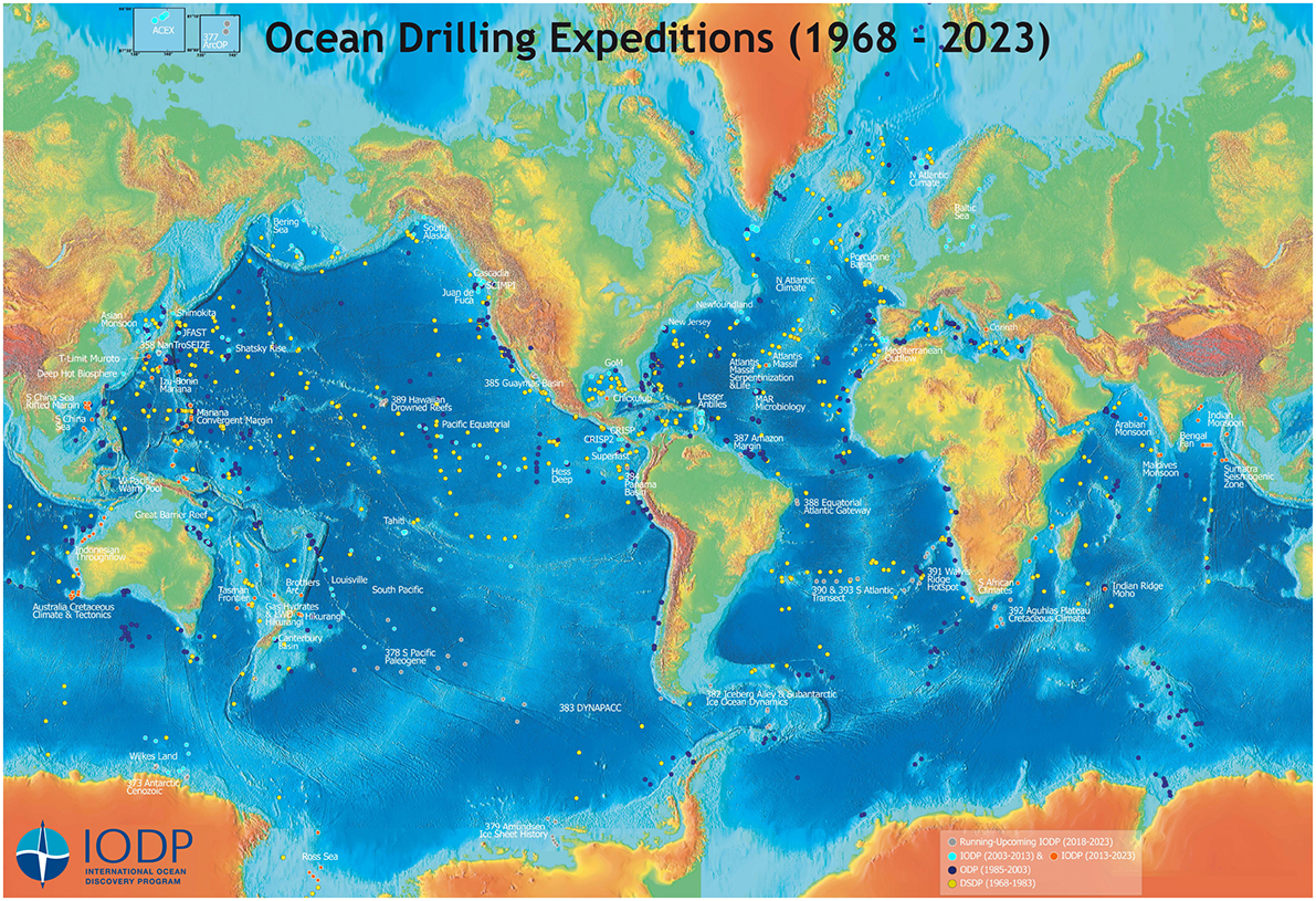
DSP, ODP and IODP drillsites with labels of IODP expeditions
as of September 2018
JPG
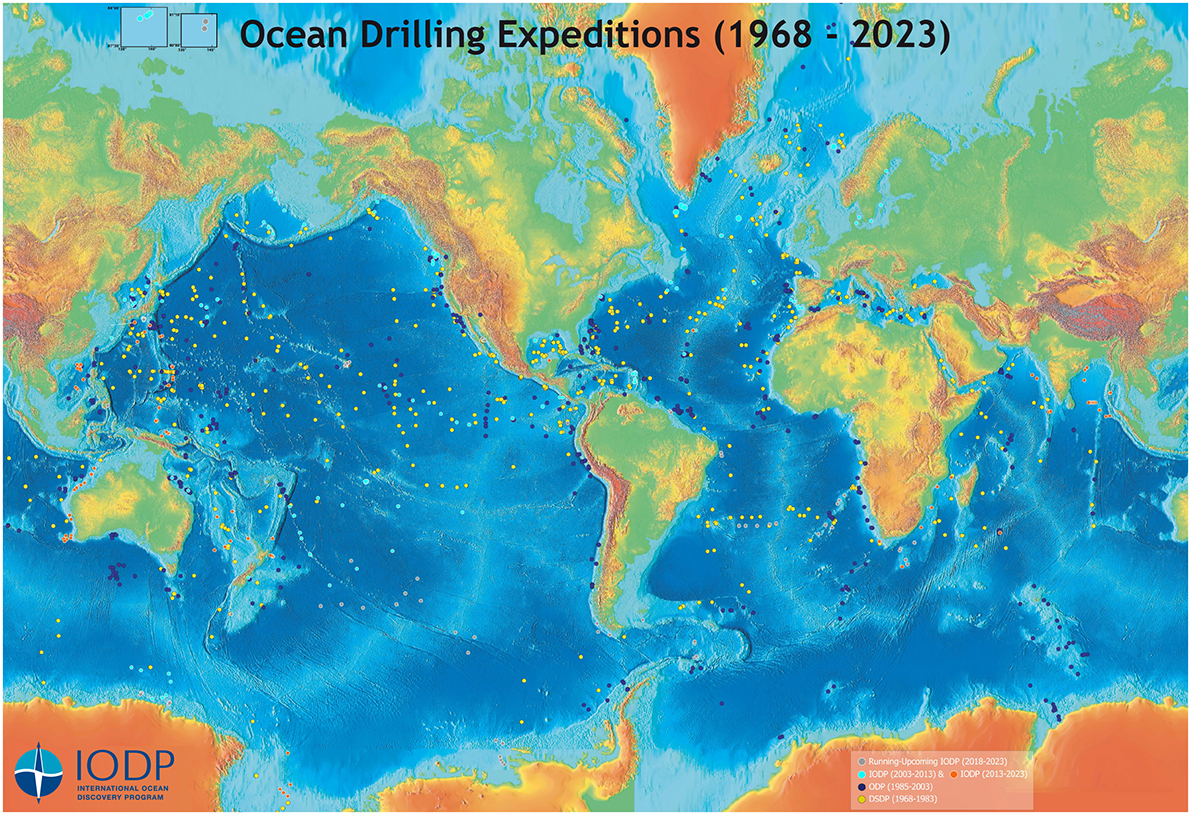
DSP, ODP and IODP drillsites (no labels)
as of September 2018
JPG
Other IODP Maps
IODP Maps for papers & presentations are available for use in publications and presentations (provided by the JOIDES Resolution Science Operator).
Maps and kml tools: choose files and open them with Google Earth (provided by the IODP Science Support Office).